
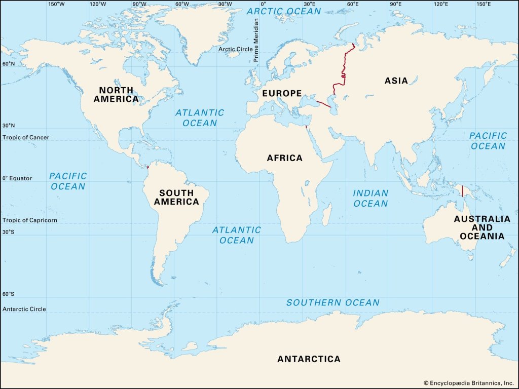
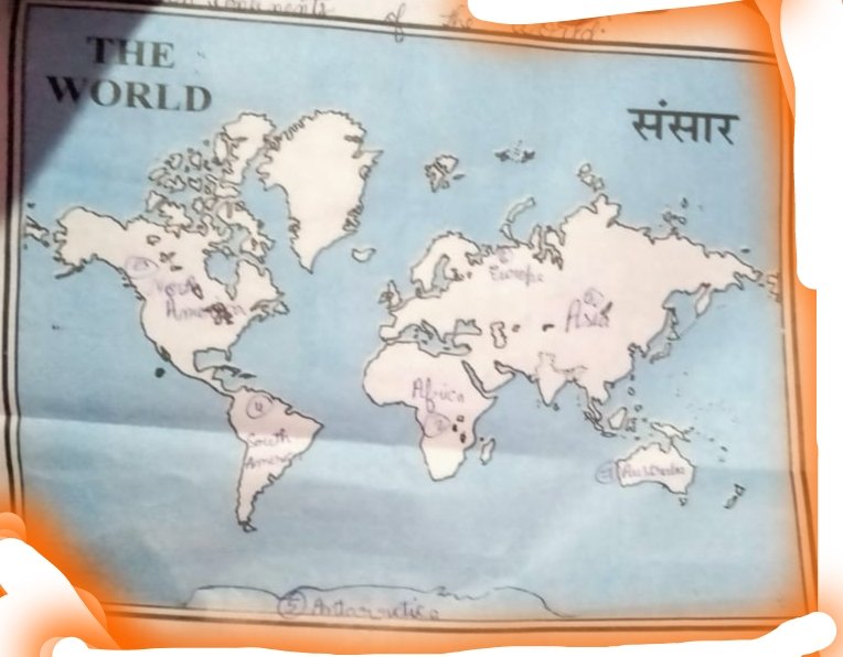
1.Show all continents and oceans on world maps
For demo show all continents and oceans on world map
2.Describe about all three maps
- https://www.mediafire.com/folder/nn3e676tkexh8/DESCIBE ABOUT ALL THREE MAPS
- Political Maps:
Political maps display the boundaries of countries, states, cities, and other political divisions. They are designed to show the political features of a region, including capitals, major cities, and administrative borders. Political maps typically use different colors or patterns to differentiate between countries or states, and they often include labels for major cities and capitals. These maps provide a clear representation of the political structure and organization of a specific area. - Physical Maps:
Physical maps focus on the natural features of the Earth’s surface. They illustrate the physical geography of a region, including landforms, bodies of water, and elevation. Physical maps use various colors and shading techniques to depict different landforms such as mountains, plains, deserts, and bodies of water such as lakes, rivers, and oceans. They often include contour lines to represent changes in elevation and may also provide labels for significant geographical features like mountain ranges or major rivers. Physical maps are useful for understanding the topography and physical characteristics of a particular area. - Thematic Maps:
Thematic maps are designed to convey specific information or themes about a particular subject. Unlike political or physical maps, which provide a broad overview, thematic maps focus on a specific topic or data set. Examples of thematic maps include population density maps, climate maps, transportation maps, or economic activity maps. Thematic maps use various visual techniques like colors, symbols, or patterns to represent the data they are displaying. They are valuable for analyzing patterns and trends related to a specific theme or topic.
